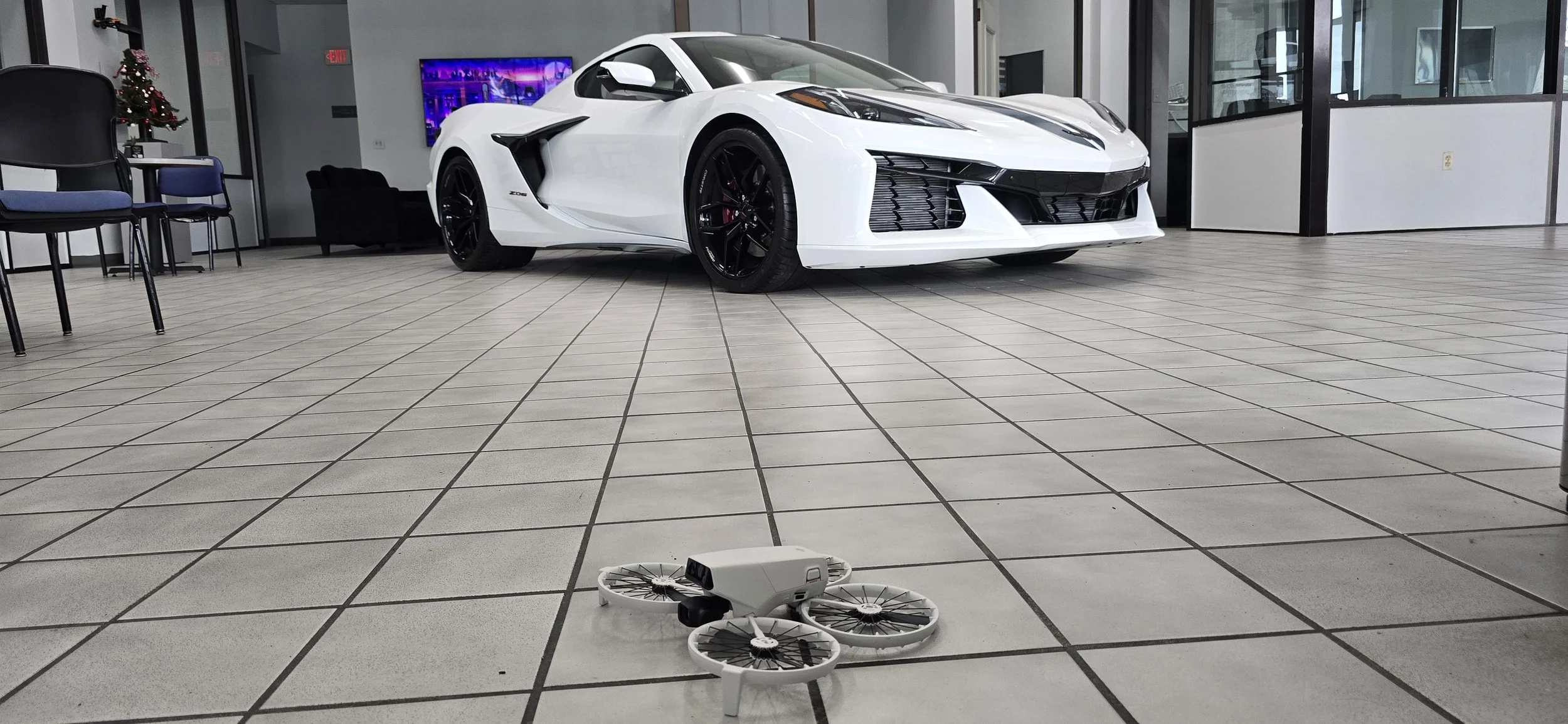
ONE PERSPECTIVE ISN'T ENOUGH
Aerial imaging, 3D digital twins, mapping and project intelligence — built around what you need to see, document or showcase.
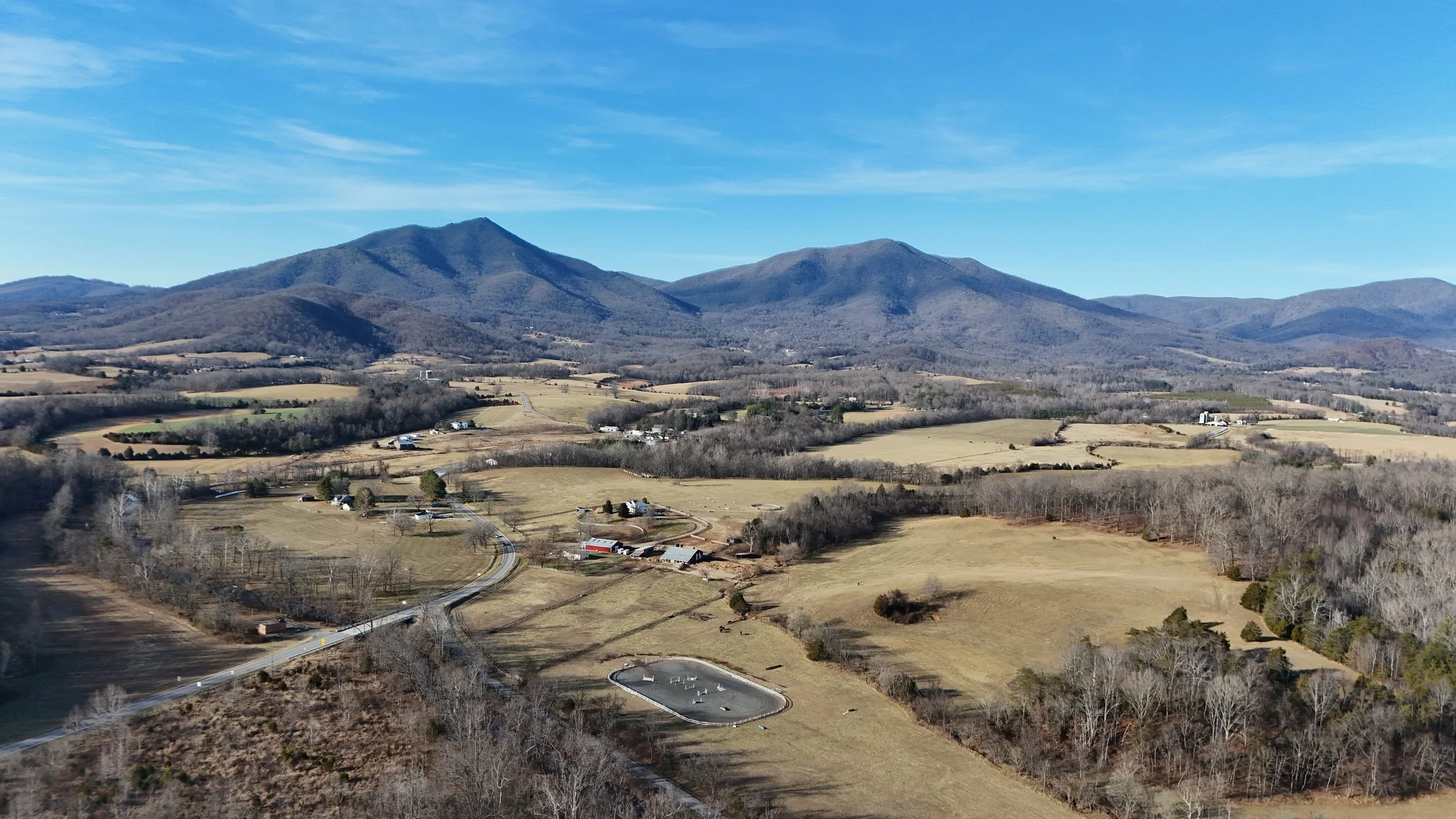
AERIAL IMAGING
High-resolution aerial photography and video for properties, businesses, construction sites and unique projects.
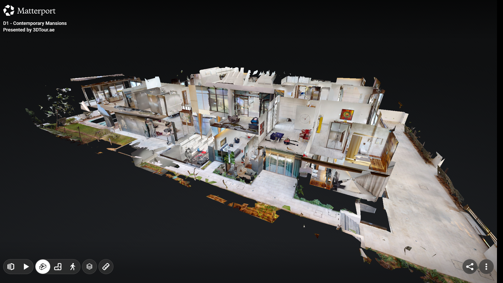
3D DIGITAL TWINS
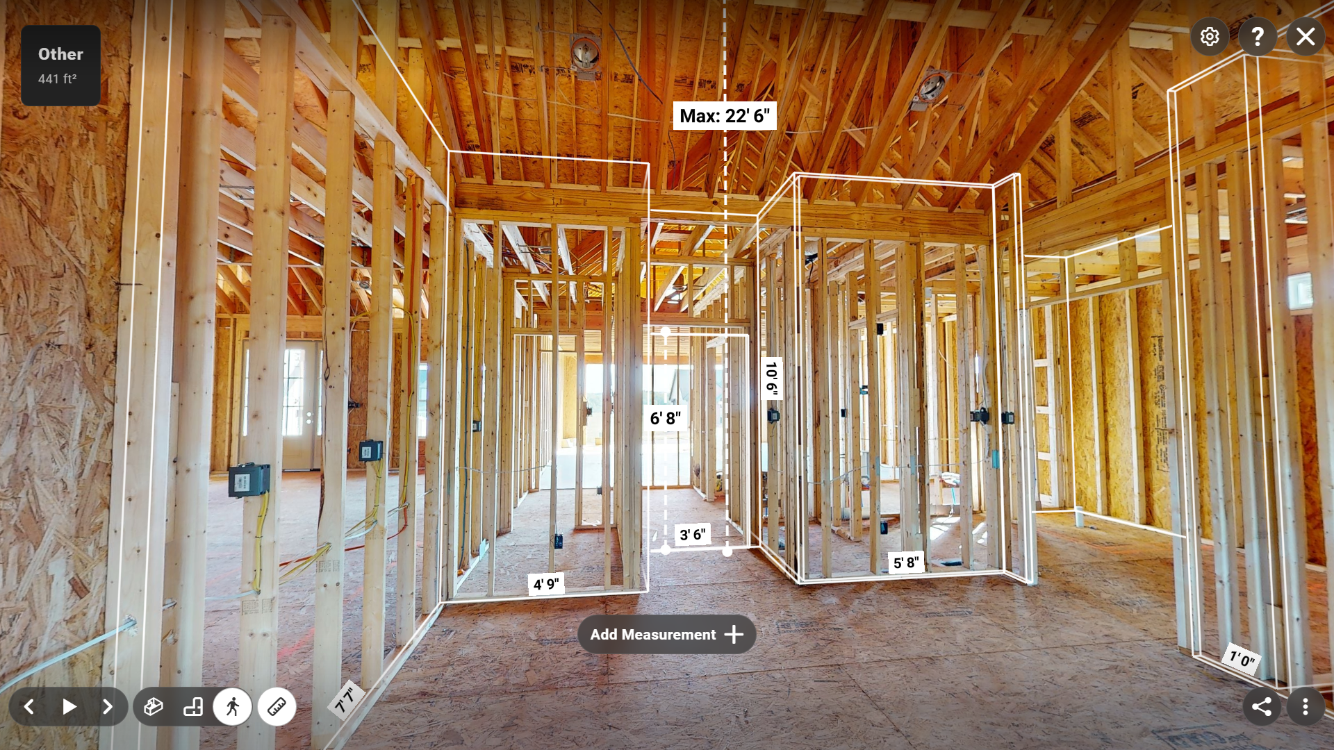
Immersive Matterport environments that let clients explore, document and understand a space from anywhere.
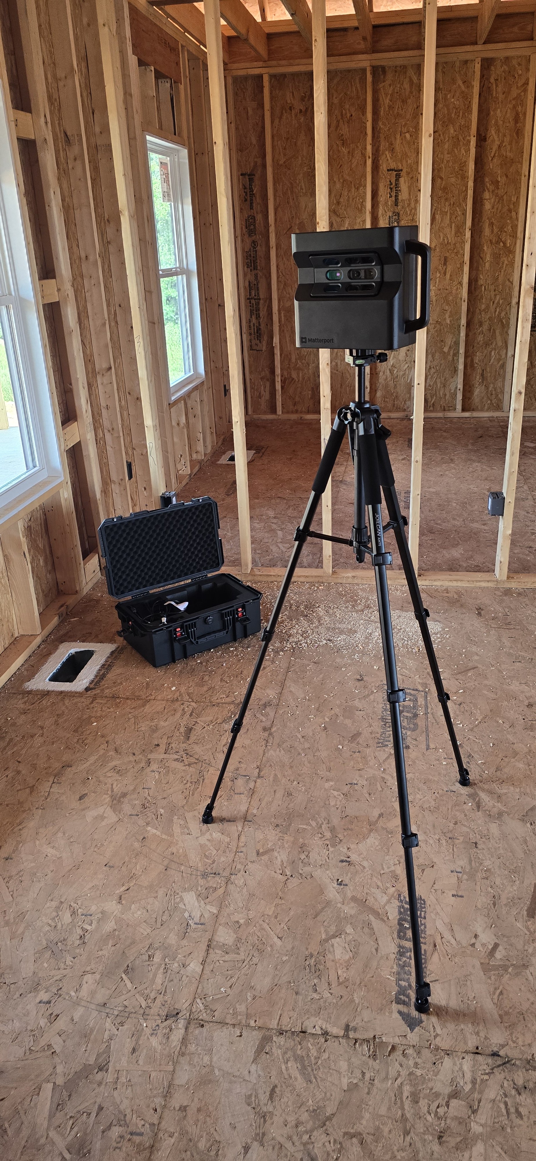
DOCUMENTATION
Get eyes where they're needed without putting people there. Roofs, structures, facilities and project progress captured clearly.
PROJECT INTELLIGENCE
Turn aerial imagery into useful visual data for planning, documentation, progress tracking and decision-making.